About Us
LocalDevices co-designs, creates affordable, open and locally sustainable devices and software solutions to measure, monitor and understand complex environmental processes. We equip local people with local devices and open knowledge so that they can monitor and understand their own environment. More: We adhere to the Principles for Digital Development. Examples include our work with TAHMO on OpenRiverCam, an open source ecosystem for river flow monitoring with CCTV cameras, Libre360, an affordable high quality 360-degree camera solution specifically designed for creation of 3D reconstructions in complex environments, and OpenCadaster, a long-term project to establish a GPS base station network accross Africa and a user-friendly smartphone hard- and software solution for cm precise surveys. We continuously seek R&D funds to support our new innovations, and offer our service to businesses that require a sustainable and affordable data collection, to train local service providers to start using our tools.
Our team
Our team consists of international specialists in environmental sensing and data including geospatial, hydrology and imaging. All our team members have affiliation with electronics, and software development. Our combination of skills leads to what we are, a social enterprise for the development, piloting and roll out of products and services for environmental monitoring in any country or city in the world without the constraints of proprietary solutions. We don’t sell our products, we don’t profit from them, instead we facilitate their use through training and scaling activities.
Hessel Winsemius
Flood RISK EXPERT
Hessel is trained as hydrologist. Within Deltares, he gained 15 years of experience with flood and drought risk datasets and modelling, and flood and drought monitoring and forecasting. His approach to design of technology and projects is strongly anchored in co-design. Over the past 5 years, his focus has been on research and development of locally sustainable technology for data related to natural hazard risks, and creating a bridge between local entrepreneurs with skills to collect data sets, and international audiences, that require such data sets, such as water-related consultancy. Within Rainbow Sensing, He conceived the idea for OpenRiverCam, the first entirely free and open-source suite for operational management of river monitoring sites using camera observations. Within Delft, University, he supervises students that work on affordable or repurposed technology for environmental monitoring.
Ivan Gayton
Humanitarian innovator
Ivan has over 15 years experience leading cutting-edge development and deployment of open source mapping and drone technologies for humanitarian aid. He has been Head of Mission, GIS and Technical Advisor for Médecins Sans Frontièrs / Doctors Without Borders in numerous countries including Nigeria, Haiti, Libya, and South Sudan. Ivan conceived and co-founded the Missing Maps project (missingmaps.org) in 2014 in response to the West Africa Ebola outbreak; conceived and developed MapSwipe a software for crowdsourced off-line mobile image classification for humanitarian mapping. He also led a collaboration between MSF and Google to create electronic medical records in Ebola centres (projectbuendia.org). Ivan continues to manage and/or support a suite of community mapping and tech initiatives in approximately 10 countries as part of the Humanitarian OpenStreetMap team and Rainbow Sensing.
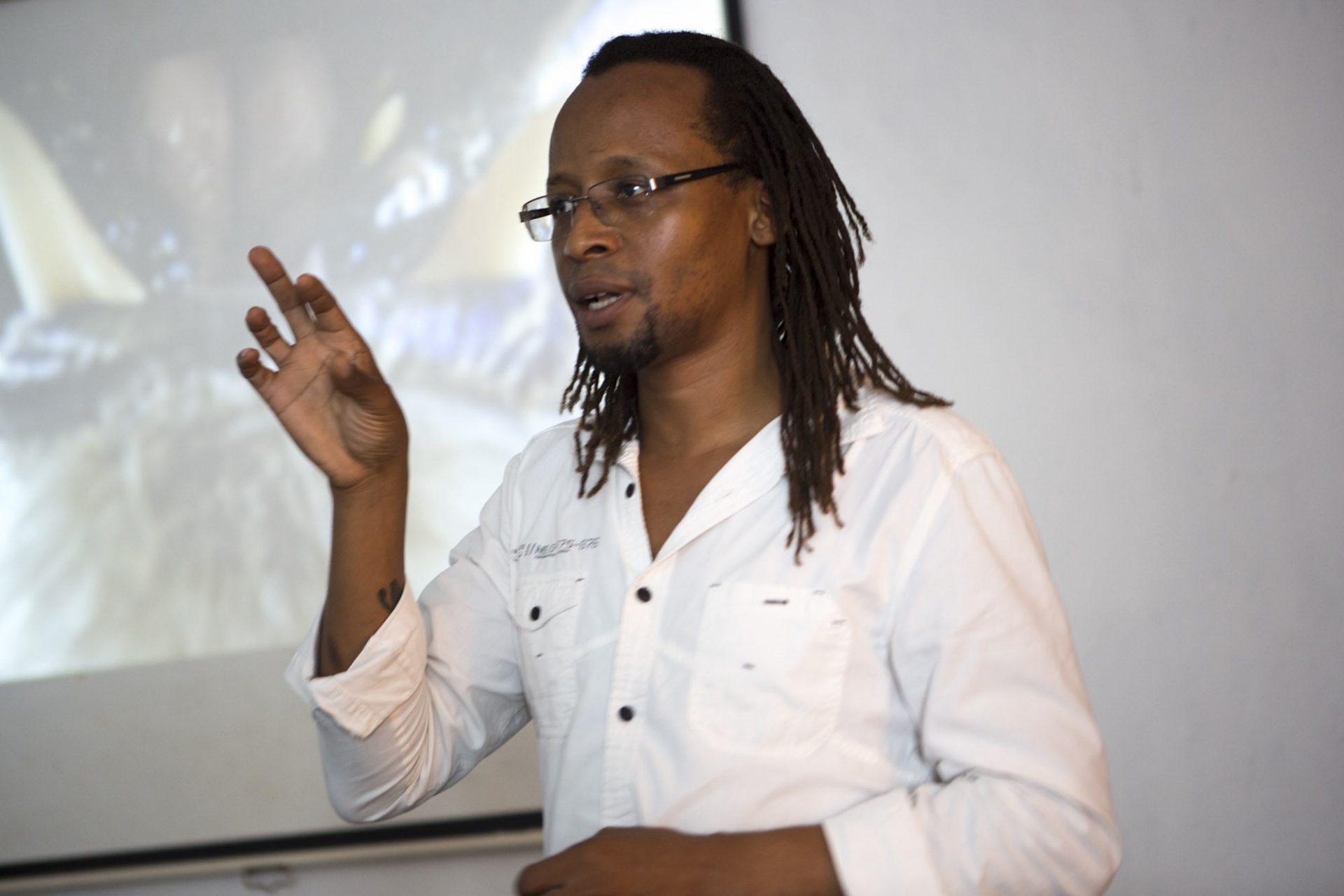
Iddy Chazua
Use case developer
Iddy is the Use case development officer based in Dar es salaam, Tanzania. He gained a lot of experience in working with data and community from HOT and OpenMap Development Tanzania (OMDTZ) where he works as GIS&Tech lead. Mr Iddy has an expertise in various geospatial technologies, and is capable of data analysis and visualization, data management, and has facilitated training and workshops with several government agencies and NGOs.
Frederick Mbuya
service developer
As CEO of Uhuru Labs, Frederick Mbuya creates and rolls out innovative and local technology for environmental monitoring. He creates value-added datasets with locally deployable drones, rolls out and maintains hardware and software stacks for local use cases, and has a passion for Free and Open-Source. Freddie’s experience in Tanzania, and other African countries make our innovations truly sitting in the countries that they are built for.
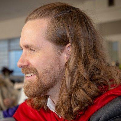
Stephen Mather
Geospatial lead
Stephen has been working in the geospatial world since 1998, much of that in the public sector and working with free and open source software. He has been interested in the application of computer vision to geospatial analyses since 2004, and founded the OpenDroneMap project (http://opendronemap.org) in 2014, a project to bring together and extend a suite of open source computer vision software for use with UAS (drone) and street level images. The scalability and distributability of OpenDroneMap as free and open source software has lead to its adoption across sectors, with notable users in conservation, development, and disaster response.
Stephen serves as executive director of OpenDroneMap.org, works on scientific computing support at Oberlin College and Conservatory, collaborates Dian Fossey Gorilla Fund, and is also coauthor of the PostGIS Cookbook and blogs all his geospatial and ecological whims at https://smathermather.com.
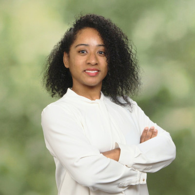
India Johnson
Machine Learning expert
India has extensive experience processing drone data and generating orthophotos, digital elevation models and point clouds. Her years of experience piloting drones and current business focus on ML/DL computer vision work with drone imagery make her well-suited to establishing and manipulating very large data sets for the purpose of classification, segmentation and filtering. She graduated from Case Western Reserve University with a Bachelor’s degree in Biology and a minor in Environmental Science. She also spent time studying marine ecology/biology and environmental issues in New Zealand and has worked and studied as a Computer Scientist and Programmer.
India founded and runs UAVistas, focussing on conservation and sustainability, and offers highly specialized services and data for wetland management, river restoration, ecosystem monitoring and more. She gained experience working for the Cleveland Metroparks where she was responsible for flying, processing data from, and maintaining the Cleveland Metroparks drone fleet.