
Photogrammetry Services
We provide services to process huge datasets into useable 3D end products such as point clouds terrain models for hydrological modelling, game-engine ready meshes, all performed and curated by our photogrammetry, survey and hydrological experts

Research and Development
We develop new demand-driven tools, devices, software, processing approaches, and piloting, always through co-design with local entities. Examples include our OpenRiverCam river monitoring software and OpenDroneMap photogrammetry software

Production and Training
We offer services to produce and deploy devices and software stacks for any user, or train users to do this autonomously.
Hessel Winsemius
Flood Expert
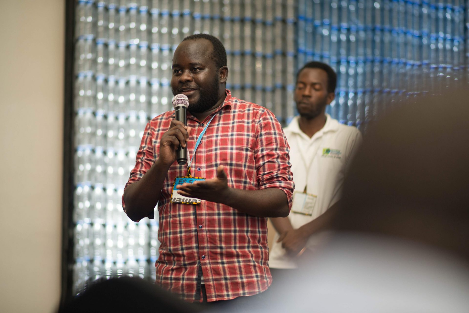
Ivan Gayton
Humanitarian innovation
Iddy Chazua
Use case developmENt
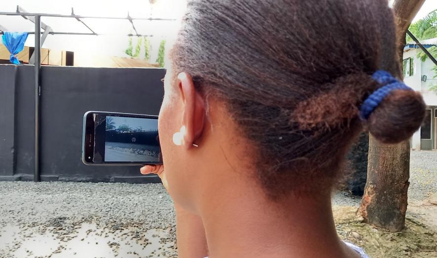
3d StreetView
Many areas in the world are still not accurately mapped. With our highly affordable and high quality 360-degree camera design + FOSS firmware and Structure-from-Motion workflows with the well-known OpenDroneMap software, you can start collecting excellent data and process these into end-user products such as digital terrain data, exposure data and cadastral information.
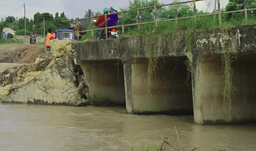
Open RiverCam
World-wide, river observation networks are declining due to a too high cost and risky effort of maintenance of sites. With partner TAHMO we provide the software to accurately and operationally monitor how much water flows through a stream using simple CCTV cameras.
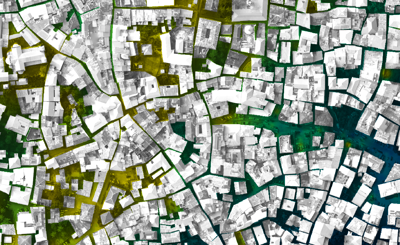
Open Cadaster
Land title deeds and survey boundaries of smallholder plots are a problem facing people in developing countries. People lack evidence of land ownership and accurate boundaries. That is why we launch Open Cadaster, an effort to establish a GPS base station network in Africa, an deliver affordable devices to measure cadasters.